|
Polyland Hiking Guide  |
|
|
"Do
not go where the path may lead, go instead where there is no
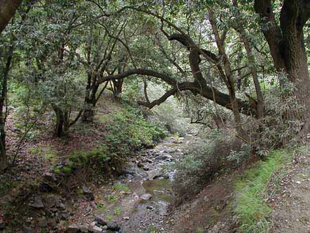
path and leave a trail." Cal Poly is filled with a variety of trails and paths. It gives you the chance to see everything from architectural experiments from the 1960s, to serene creek sides overflowing with vegetation.Hikes take any where from one hour to a full day. Considering the constant change in San Luis Obispos weather it is wise to bring water, a light weight jacket, and plenty of sun-block.Listed below are a some great trails with links to maps and photos. |
|
Trails and PathsThe 7.5 mile trail is a long and somewhat strenuous hike that takes about four hours. The Cheda hike is mainly flat land and takes roughly two hours. The Chorro creek hike is a trail recomended for beginers, it should take about three hours. The Farm hike is recomended for all levels and can be completed in an hour and a half. The Pennington hike is a moderately difficult trail and is approximately three hours.
|
