|
Chorro
Creek Hike
|
|
|
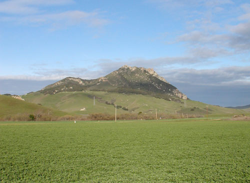
Hollister Peak |
|
|
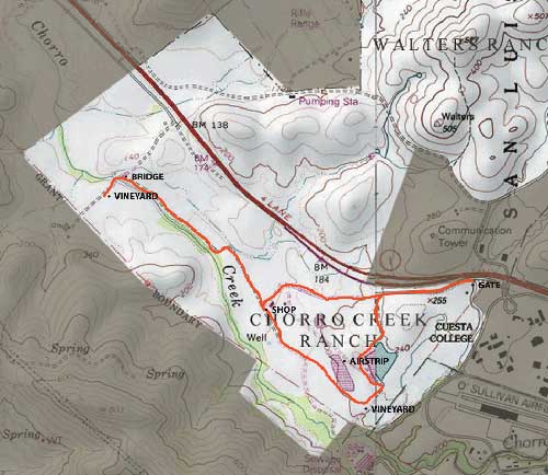
Chorro creek allows you see a different part of Cal Poly's land, as it takes you a little farther west of the main campus. It's mainly a flat walk through two vineyards and past the dairy lagoon. From the end of the trail you are able to see the entire valley. Below is a map of the Chorro Creek Hike.
Directions to Chorro Creek:
To return to the Hiking home page click here. Hiking To return to the Recreation home page click here. Recreation
|


