logo


this project
map
archives
what's new

places
agricultural land
poly canyon
stenner canyon
western ranches
swanton ranch
adjoining lands

topics
geology & climate
soil & water
flora & fauna
natural resources
agriculture
technology
history
the arts
recreation
stewardship

Land Adjoining Cal Poly

Chorro Creek and Dairy Creek Watersheds

Between the Campus Area and the Western Ranches lie two parallel watersheds--Chorro Creek and Dairy Creek. Land in these watersheds belongs to Los Padres National Forest, the California National Guard, and the San Luis Obispo County department of Parks and Recreation.

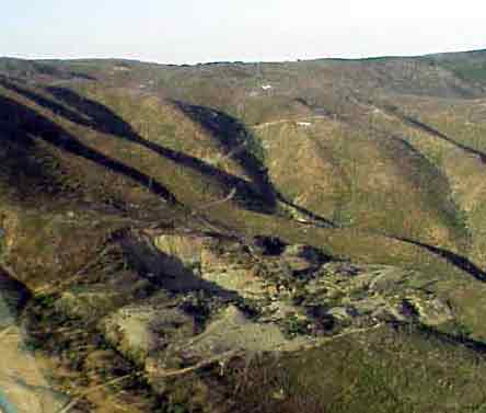
Chorro Creek and its tributaries flow down Cuesta ridge into California Men's Colony and Camp San Luis. This whole watershed has been severely disturbed by quarrying and mining, by military maneuvers, and by the Highway 41 fire.

Dairy Creek and its tributaries flow down Cuesta ridge into Chorro Park and the Dairy Creek Golf Course. Dairy Creek Canyon retains a rich savannah and oak woodland ecosystem despite the fire, perhaps because of the absence of severe human incursions.
 

San Luis Obispo Creek Watershed

South of the Campus Area drained by Stenner Creek and Brizziolari Creek, lies the San Luis Creek Obispo creek watershed. This drainage area is divided by the impassable barrier of highway 101. Land in this drainage belongs to the Los Padres National Forest, the Santa Margarita Ranch, the Miossi and Wineman families, and the city of San Luis Obispo, which retains Reservoir Canyon as part of its water supply.

City San Luis Obispo Natural Resources Website

A new resource with maps, pictures, and text documenting the City's Conservation, Greenbelt Acquisition, Outdoor Recreation and Environmental Education programs