|
Technology
& Change
|
|
|
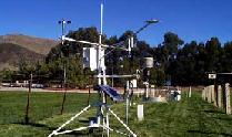
Applications of Technology The Cal Poly California Irrigation Management Information System station is located near the H16 parking lot. The CIMIS station collects information from various places throughout California. The CIMIS station collects information such as wind, air pressure, humidity and more. As the picture shows below, the CIMIS station collects droplets of water from the atmosphere to measure humidity and this information is sent to the CIMIS database. The CIMIS stations sends all the information gathered from all the devices on board to the database where anyone can access the information through the Internet.
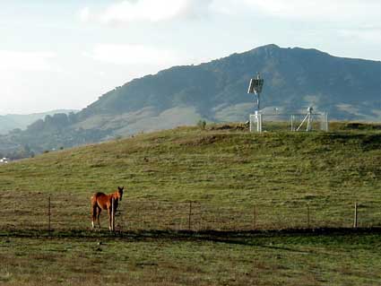
The SCIGN project located above one of our own reservoirs on campus gathers information dealing with current seismograph. The seismograph information is recorded and sent to the database that can be seen through the SCIGN site.
The California Land Use Planning Information Network is a project off the Ceres site. It has information dealing with the specific projects in the city and county of San Luis Obispo, as well as other information pertinent to land use. Information is available to aid in researches and land studies such as statistical data pertaining to wild flowers in the area. |
