|
Technology & Change on Cal Poly Land
|
|
|
|
|
|
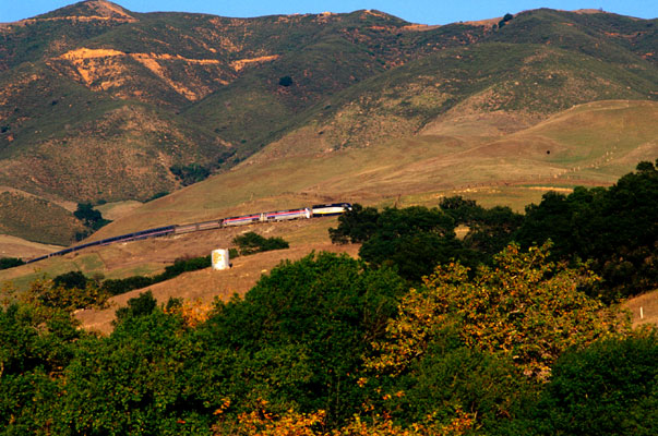
Technology's state is never complete. Its ever-changing nature has always influenced the manners that land is utilized, the environment we inhabit and the innovations responsible for the reciprocal relationship between land use and technology. Since the South Pacific Railroad's first arrival at Cal Poly, technology's impact on nature has steadily increased since 1903. As a result, the correlation of these two factors at Cal Poly has consistently demonstrated the need for new technologies because it affects the way we live. From irrigation to electricity technology at Cal Poly has altered the way each of interacts with the world around us. Technology & Change shows how Cal Poly interacts with state programs to increase awareness of the world around us. Technology was used to take the picture above to show the beauty of the San Luis Obispo County. Technology is used by many organizations to help better understand our environment. Ways in which technology monitors changes in the land both natural and human-caused, can be seen at the following sites: The CIMIS site provides data pertaining to climate, humidity, irrigation, and water budgeting with weather stations set up throughout the state of California. The LUPIN site makes information available which discusses land use plans throughout California. It provides information about natural and artificially built environments. The SCIGN site makes available up-to-the-minute information about the seismic changes in the land, more specifically about earthquakes, global positioning satellites, and geographic modifications. Picture is provided by Sky Bergman |

